Elev ~5,000 ft · Heart of Rim Country
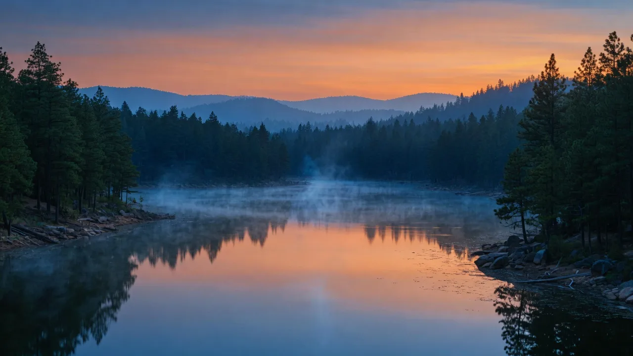
Payson: where the pines start and the pace slows.
About 87 to 90 miles and a 1.5 to 1.75 hour drive northeast of Phoenix on AZ-87, Payson is the biggest town in Rim Country, ringed by national forest and capped by the Mogollon Rim.
The lay of the land
Centered in town, surrounded by forest.
Payson sits at 4,982 feet on the official listings, usually described as about 5,000, which means real seasons: cool nights, ponderosa pine shade, and summer highs that stay well under the valley. The 2020 census counted 16,351 residents, and summer visitors swell that number as Phoenix climbs the Beeline.
For the home at 510 E Evergreen St, that location lands in Central Payson NE, minutes from the shopping, dining, and trailheads that make this town self-sufficient without ever feeling crowded.
- 4,982 ft
- Official elevation
- 16,351
- Population, 2020 census
- ~1.5 to 1.75 hr
- To Phoenix via AZ-87
- 2
- National forests nearby
commonly cited as 5,000
For the school-aged years
One district, a clear path through school.
The 85541 area is served by Payson Unified School District #10. Elementary students attend Payson Elementary or Julia Randall Elementary, then feed into Rim Country Middle School and Payson High School. Boundaries can change, so verify assignments directly with the district.
- Step 1
Payson Elementary
Grades K to 2
500 E Rancho Rd
- Step 2
Julia Randall Elementary
Grades 2 to 5
600 S Green Valley Pkwy
- Step 3
Rim Country Middle School
Grades 6 to 8
single district middle school
- Step 4
Payson High School
Grades 9 to 12
single district high school
Daylight hours
The biggest backyard in Arizona.
Weekend plans write themselves here: fish stocked lakes in town, drive ten miles to a natural travertine bridge, or head up the rim for a forest hike. These are the anchors of Payson living.
-
Green Valley Park
Payson's 43-acre town park with three stocked lakes, fishing, paddle access, trails, and playgrounds, right off Historic Main Street.
adventurepayson.com -
Tonto Natural Bridge State Park
Home to the world's largest natural travertine bridge, about 10 miles north of Payson off State Route 87, with viewpoints and short trails.
azstateparks.com -
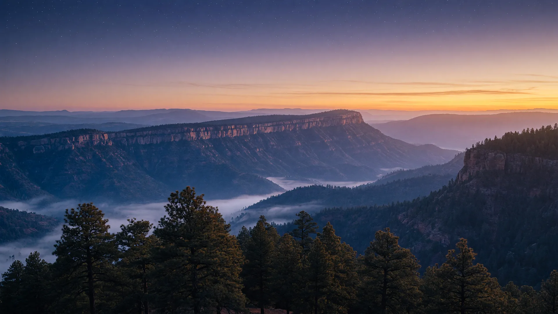
Mogollon Rim
A 200-plus-mile escarpment rising roughly 2,000 feet above town. Scenic drives on Forest Road 300 and the Arizona Trail cross the rim.
adventurepayson.com -
Woods Canyon Lake
About 30 miles east on the rim, a stocked trout lake with a paved ramp and boat and kayak rentals, plus an easy loop trail.
fs.usda.gov
Local favorites
Coffee, grub, and groceries, minutes away.
Real shops and restaurants near the 510 E Evergreen St address, verified with addresses and links. Hours change; call ahead.
-
Common Grounds Coffee House
Coffee
219 S Colcord Rd
Visit - 4.2
Pinon Café
Coffee & cafe
1001 S Beeline Hwy
Visit - 4.2
Macky's Grill
American grill
201 W Main St
Visit - 4.2
Buffalo Bar & Grill
Grill & bar
311 S Beeline Hwy
Visit - 4.1
Beeline Cafe
Home-style cafe
815 S Beeline Hwy
Visit -
Bashas'
Grocery
142 AZ-260
Visit -
Safeway
Grocery
401 AZ-260
Visit -
Payson Farmers Market
Seasonal market
816 S Beeline Hwy
Visit -
Danzeisen Dairy Creamery
Ice cream & dairy
500 S Beeline Hwy Ste B
Visit
Community info from Adventure Payson, Arizona State Parks, the US Forest Service, and each business's own site. All details subject to change.
How 510 fits in
Central Payson NE: errands close, trails closer.
From Evergreen, the Beeline Highway is a short drive for groceries, coffee, and the shops on the main drag, and Green Valley Park is minutes away for an evening walk. When you want Rim Country, the rim is the whole eastern horizon.
Steven knows every loop and dead-end up here. Let him show you the route from this driveway to the places you will actually go.